
File:McKittrick Tar Seep North of Highway 58.jpg
預覽大小:800 × 445 像素。 其他解析度:320 × 178 像素 | 640 × 356 像素 | 1,347 × 749 像素。
原始檔案 (1,347 × 749 像素,檔案大小:233 KB,MIME 類型:image/jpeg)
摘要
| 描述 |
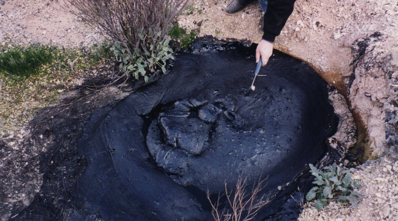
English: This is one of the better looking natural tar seeps at the McKittrick Oil Field, in California.
|
| 日期 | |
| 來源 | 自己的作品 |
| 作者 | Lldenke |
授權條款
我,本作品的著作權持有者,決定用以下授權條款發佈本作品:
此檔案採用創用CC 姓名標示 3.0 未在地化版本授權條款。
- 您可以自由:
- 分享 – 複製、發佈和傳播本作品
- 重新修改 – 創作演繹作品
- 惟需遵照下列條件:
- 姓名標示 – 您必須指名出正確的製作者,和提供授權條款的連結,以及表示是否有對內容上做出變更。您可以用任何合理的方式來行動,但不得以任何方式表明授權條款是對您許可或是由您所使用。
檔案歷史
點選日期/時間以檢視該時間的檔案版本。
| 日期/時間 | 縮圖 | 尺寸 | 使用者 | 備註 | |
|---|---|---|---|---|---|
| 目前 | 2024年4月13日 (六) 12:44 | | 1,347 × 749(233 KB) | Lojwe | Cropped 2 % horizontally, < 1 % vertically using CropTool with precise mode. |
| 2010年5月31日 (一) 02:55 |  | 1,376 × 752(246 KB) | Lldenke | {{Information |Description={{en|1=This is one of the better looking tar seeps at McKittrick. Sometimes the surface is hard, but in hot weather, it is soft. People like to light the gas bubbles that come out of the seep. The seeps are visible on Google |
檔案用途
下列頁面有用到此檔案:
全域檔案使用狀況
以下其他 wiki 使用了這個檔案:
- az.wiktionary.org 的使用狀況
- ca.wikipedia.org 的使用狀況
- de.wikipedia.org 的使用狀況
- en.wikipedia.org 的使用狀況
- en.wikivoyage.org 的使用狀況
- en.wiktionary.org 的使用狀況
- es.wikipedia.org 的使用狀況
- fr.wikipedia.org 的使用狀況
- incubator.wikimedia.org 的使用狀況
- ku.wikipedia.org 的使用狀況
- pnb.wikipedia.org 的使用狀況
- ru.wikipedia.org 的使用狀況
- ru.wikinews.org 的使用狀況
- tr.wikipedia.org 的使用狀況
- uk.wikipedia.org 的使用狀況
- www.wikidata.org 的使用狀況